Met Office weather warning in place for snow and ice across West Yorkshire
and live on Freeview channel 276
Large swathes of the country will see temperatures plummet once again amid a fresh alert for ice across West Yorkshire from 3am until 9pm on Sunday, December 17.
The warning comes after the UK has been plunged into sub-zero conditions due to the arrival of an Arctic weather front, which has brought widespread snow and freezing conditions.
Advertisement
Hide AdAdvertisement
Hide AdSome disruption is likely due to icy surfaces, and people may need to be careful to prevent some injuries from slips and falls on icy surfaces.
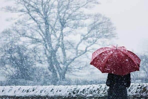

Untreated roads, pavements and cycle paths may have icy patches.
Forecast in full:
Tonight: Another very cold and frosty night, with largely clear skies, as wintry showers become isolated and confined towards the coast. Winds easing, allowing a few freezing fog patches to form. Minimum temperature -6 °C.
Friday: Remaining very cold but largely dry with sunny spells, once any mist and freezing fog patches slowly clear through the morning. Winds generally light but increasing in the evening. Maximum temperature 2 °C.
Advertisement
Hide AdAdvertisement
Hide AdOutlook for Saturday to Monday: Cloudy Saturday with outbreaks of rain, sleet and hill snow. Windy and becoming milder Sunday, with a period of snow turning to rain. Remaining windy Monday with showers of rain.